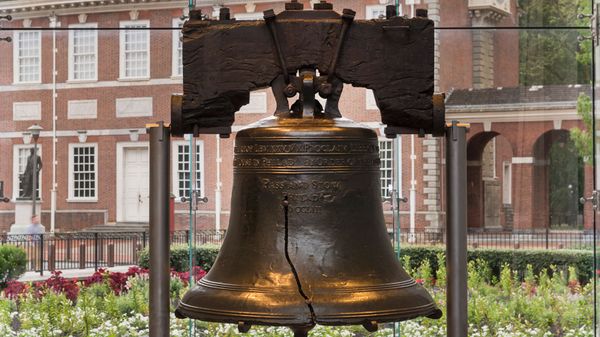


Try Our Crosswords, Riddles and Puzzles!

In the News
5 Tips on Sneaker Rehab From a Sneaker Restoration Expert
April 16 By Alia Hoyt
Yours, Mine or Ours? Leaf Blowing and the Law
April 16 By Laurie L. Dove
Germs May Help Shape Our Personalities
April 16 By Julia Layton
Gigantic Undiscovered Cave Found in British Columbia
April 16 By Patrick J. Kiger
Ghost in the Machine: When Does AI Become Sentient?
April 16 By Chris Pollette
Is Borax Harmful or Helpful?
April 16 By Alia Hoyt


Science

Diving Deep Into the World of Saturation Diving

How Nuclear Bombs Work

Who Invented the First Computer?

Can Food Make People Happy? Foods That Increase Dopamine
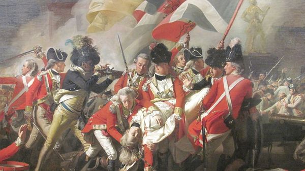
Culture

The World's Shortest War Lasted Just 38 Minutes

Why Is Herodotus Called Both the Father of History and the Father of Lies?

What People Get Wrong About Rosa Parks and the Montgomery Bus Boycott

Remembering Bayard Rustin, Civil Rights Leader and Gay Activist